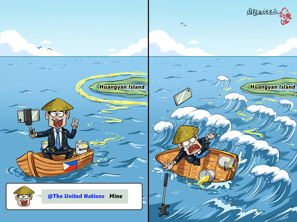
Recently, the Philippine Department of Foreign Affairs (DFA) claimed that it had formally deposited with the United Nations Secretariat a so-called “official nautical chart of Scarborough Shoal and its surrounding maritime zones,” in an attempt to draw so-called territorial sea baselines around Huangyan Island, which is Chinese territory. The so-called “official nautical chart” is no more than an illegal sketch. The Philippines is attempting to use a mere pen and a mere piece of paper to enclose China’s Huangyan Island within its own “yard walls,” thus effectively drawing its own map according to its own wishes and demanding others to accept it as an established fact.
Produced by|CRI Online
Chief Planner|Zhong Renzong
Executive Producer|Yuan Tinglei
Producer|Jiang Lili
Editor-in-Chief|Liu Muchen
Program Planner|Nie Zixi


